Question 1
Question 1(b)
(a)
Label the diagram below to show water flows into and out of Lake Naivasha.

Diagram for water flows into and out of Lake Naivasha
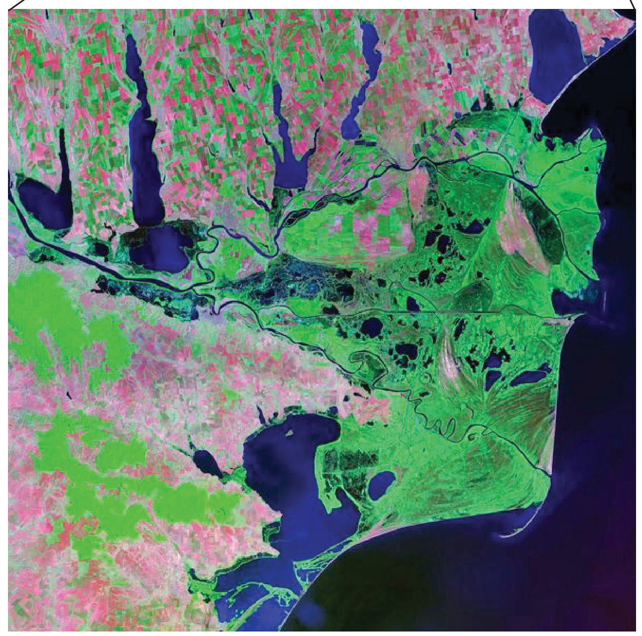
Lake Naivasha is in the tropical grassland biome and is the only freshwater lake in the Rift Valley in Kenya.
It is shallow, with average depth about 6 m; surface area varies from 102 km^2 to 150 km^2 due to irregular rainfall.
Water sources are the Malewa and Gilgil rivers, rain from storms over the nearby Aberdare range, and groundwater flow.
Water leaves by evaporation, transpiration from aquatic vegetation and underground flow.
The lake and shoreline provide habitats including papyrus swamps, freshwater lake/river habitats and Crescent Island; there are no native fish.
[ 2 ]